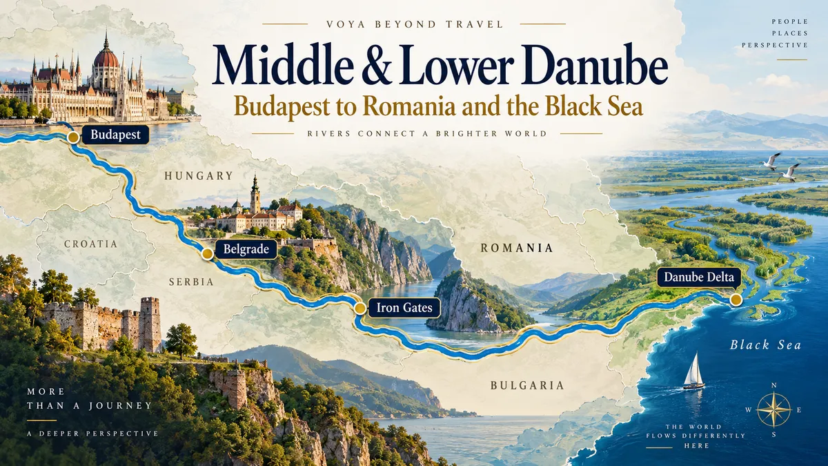
Middle & Lower Danube Water Levels: Budapest to Romania and the Black Sea
DANUBE WATER LEVELS SERIES · ARTICLE 6 OF 7
South and east of Budapest, the Danube begins to feel like a different river.
Cruises become longer. Cities are farther apart. The river forms international borders. Major tributaries join it. The Iron Gates transform navigation. And eventually the Danube spreads toward its vast delta on the Black Sea.
Low-water analysis has to change with the geography.
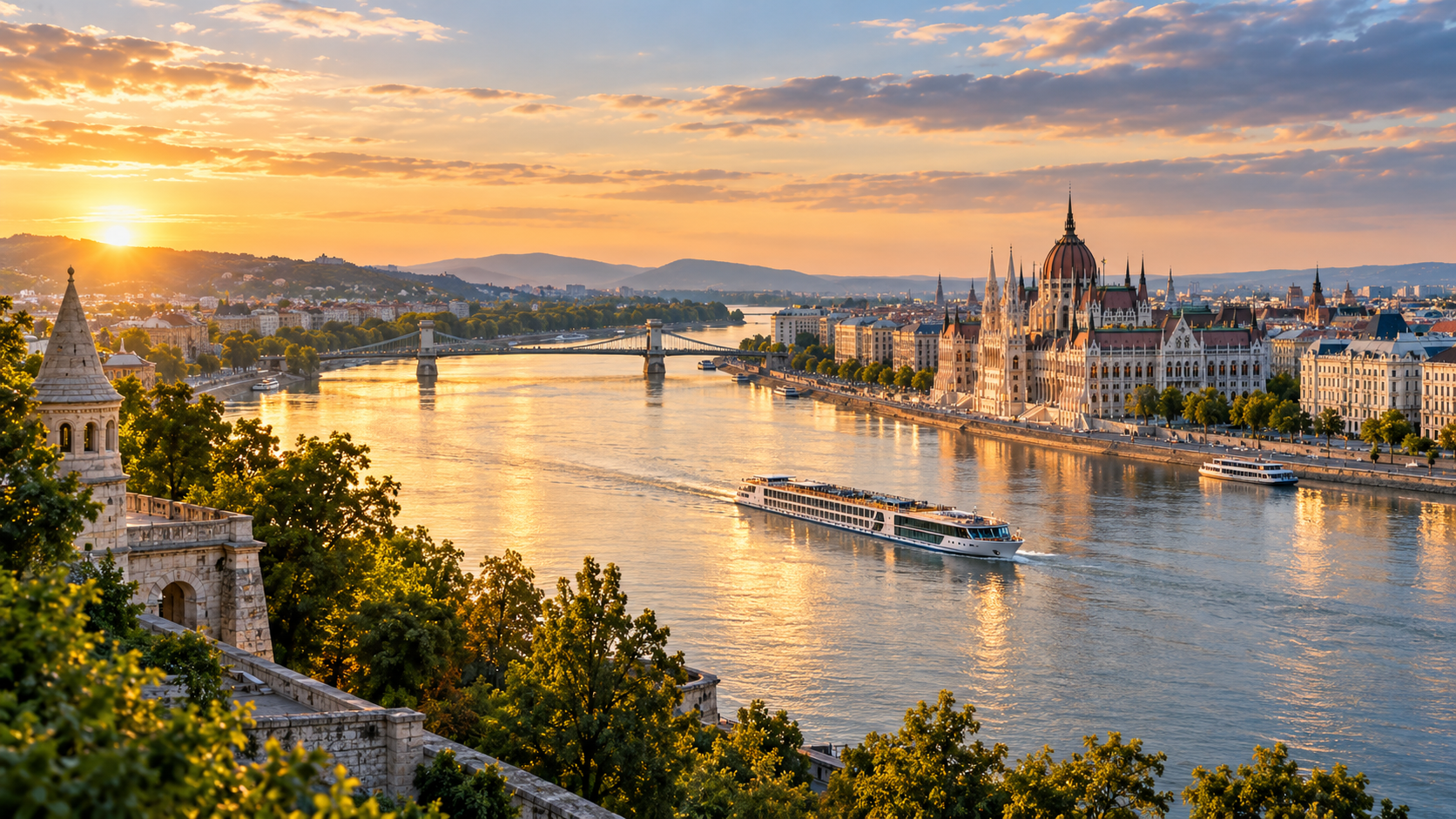
Budapest marks an important transition point on the Danube, where many itineraries continue south toward Serbia, Romania, the Danube Delta and the Black Sea.
Earlier in the Danube Water Levels Series
If you're joining the series here, the first five articles explain how Danube water levels are measured, why conditions change, and how the river differs as you travel downstream:
Understanding Danube Water Levels: The Gauges That Tell the Story
Is Low Water on the Danube Something New? A Look at the River’s History
Why Isn’t the Entire Danube Controlled? Dams, the Green Movement and a Changing River
Classic Danube Water Levels: Wachau, Vienna, Bratislava and Budapest
South from Budapest
Below Budapest, useful Hungarian gauges include Dunaföldvár, Baja and Mohács.
This reach helps us see whether low conditions observed in Budapest are persisting downstream.
But the river does not travel alone.
Tributaries continue changing its flow.
Croatia and Serbia
Around the Croatia–Serbia border, monitoring points such as Apatin/Bezdan, Vukovar and Novi Sad become useful.
Novi Sad is particularly important because it sits on a major navigable section before Belgrade.
Farther downstream, the Sava River joins the Danube at Belgrade, adding water from a large Balkan watershed.
That means conditions below Belgrade can differ substantially from those upstream.
Again: one Danube number cannot describe the river.
Toward the Iron Gates
Useful reference areas include Belgrade/Zemun, Smederevo, Veliko Gradište and the approaches to the Iron Gates.
Then the river enters one of its most dramatic transformations.
Iron Gate I and II
The Iron Gate dam systems between Serbia and Romania are the largest hydropower dams and reservoirs on the Danube.
They impound a long section of river and have major effects on navigation, sediment movement, groundwater and aquatic ecosystems.
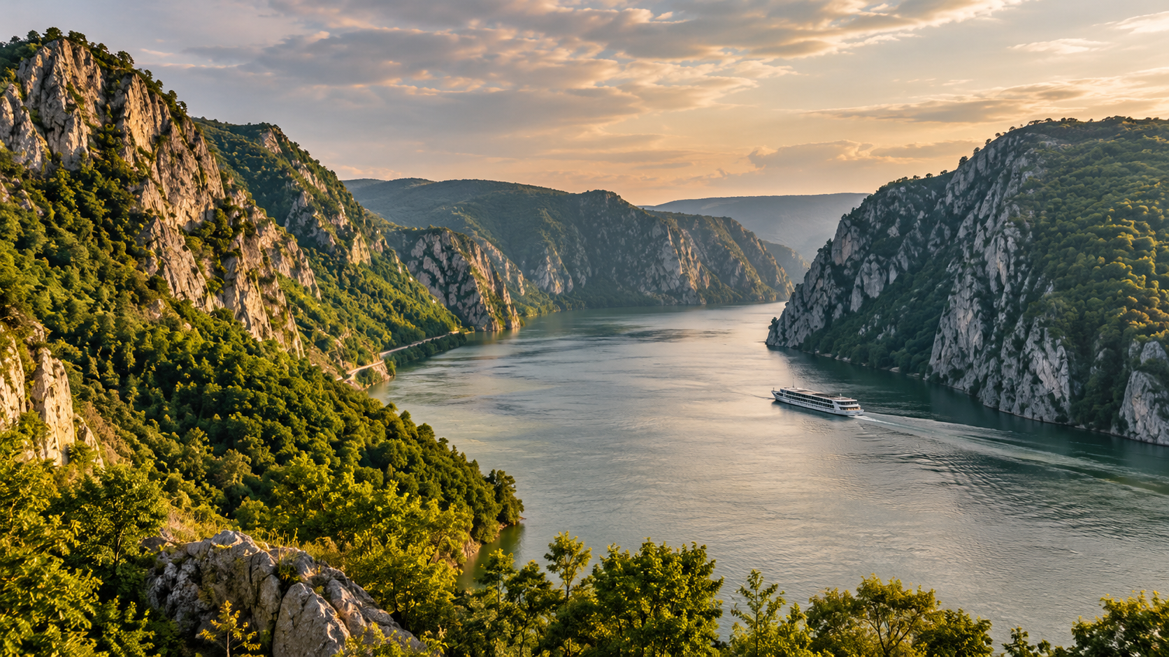
At the Iron Gates, the Danube narrows between steep cliffs along the Serbia–Romania border, creating one of the river’s most dramatic and heavily managed navigation corridors.
For river-cruise passengers, the Iron Gates are spectacular.
For hydrology, they mark a fundamental shift from the free-flowing river upstream to a heavily controlled reservoir system.
Low-water problems do not disappear—but the way they manifest changes.
The Lower Danube
Below the Iron Gates, the river continues along Romania and Bulgaria.
Important reference areas include:
Calafat / Vidin
Lom
Svishtov
Ruse / Giurgiu
Silistra
Cernavodă
Brăila / Galați
Tulcea
This part of the river has experienced serious low-water episodes.
Bulgarian navigation data illustrates just how prolonged those periods can become: the Bulgarian section recorded 111 days below Low Navigable Water Level in 2022 and 116 days in 2025, compared with only 30 days in 2024.
That year-to-year variation is exactly why historical context matters.
Why Lower Danube low water matters beyond tourism
The Lower Danube is a major commercial transport corridor.
When water becomes too shallow, cargo vessels may have to carry less freight to reduce draft. That raises transportation costs and can disrupt supply chains.
Low water can also affect industrial and energy infrastructure that depends on river water.
This is one reason government monitoring of the Lower Danube is so extensive.
River cruising is only one user of the river.
Cernavodă and the route toward the Black Sea
At Cernavodă, commercial navigation has access to the Danube–Black Sea Canal toward Constanța.
The natural river itself continues toward Brăila, Galați and the Delta.
Cruise itineraries vary: some focus on the river and Delta; others connect with Black Sea destinations or use land touring in Romania.
The Danube Delta
Near Tulcea, the Danube divides into major distributary channels before reaching the Black Sea.

Near Tulcea, the Danube spreads into a vast network of channels and wetlands before reaching the Black Sea, creating one of Europe’s most distinctive river landscapes.
The Delta is governed by a different combination of flow, sedimentation, channel maintenance and ecological protection than the Upper Danube.
It is also one of Europe’s most important wetland ecosystems.
This is where the river’s 2,857-kilometer journey ends.
Which cruises use the Middle and Lower Danube?
Major river-cruise brands offer itineraries described with names such as:
Lower Danube
Grand Danube
Gems of Southeast Europe
Balkan river cruises
Budapest to the Black Sea
Iron Gates and Danube Delta journeys
Brand names differ, but the geographic questions remain the same.
If an itinerary ends in Budapest, Lower Danube conditions may be irrelevant.
If it continues to Romania, focusing only on Vienna or Budapest gauges would be a serious mistake.
The monitoring approach
For a long Budapest-to-Romania cruise, I would divide the river into zones:
Hungary → Croatia/Serbia → Belgrade/Iron Gates → Bulgaria/Romania → Delta
Then I would look for agreement or disagreement among the gauges in each zone.
A widespread decline across multiple stations is more meaningful than one isolated low reading.
And because the Lower Danube can remain low for extended periods, duration becomes especially important.
The traveler’s takeaway
The farther a cruise travels down the Danube, the less useful a single-city water-level report becomes.
A Budapest-to-Black-Sea itinerary crosses multiple hydrological systems.
Understanding it requires a corridor view.
That leads to the final article in our core series:
What actually happens when a Danube river cruise ship cannot get through?
Sources & Further Reading
This article is part of Conversations from the Planning Desk™ and is intended to help travelers understand river conditions—not to predict the operation of a specific sailing. River levels, fairway depths and cruise operations can change quickly.
Danube FIS Portal — Current navigation bottlenecks and fairway soundings
ICPDR — Danube River Basin, climate adaptation and hydromorphology
In This Series
Danube Water Levels Series · Article 6 of 7
Previous Article: Classic Danube Water Levels: Wachau, Vienna, Bratislava and Budapest | Series: Danube Water Levels | Next Article: What Happens When a Danube River Cruise Ship Can't Get Through?
Danube Water Levels Explained: Gauges, Depth & River Cruises
Why Isn’t the Entire Danube Controlled? Dams, the Green Movement and a Changing River
Classic Danube Water Levels: Wachau, Vienna, Bratislava and Budapest
Middle & Lower Danube Water Levels: Budapest to Romania and the Black Sea — Current article
What Happens When a Danube River Cruise Ship Can't Get Through?
Planning a Danube River Cruise?
River conditions are only one part of choosing the right itinerary, ship and time of year. If you're considering a Danube cruise, I can help you compare the options and understand how the different routes may fit your travel plans.
Schedule a consultation and let's talk through your trip.