Upper Danube Water Levels: Germany to the Wachau
For many river-cruise travelers, the Danube begins with postcard names: Regensburg, Vilshofen, Passau, Linz, Melk and the Wachau Valley.
Hydrologically, however, this corridor is anything but simple.
It includes engineered reaches, a free-flowing German section, the powerful influence of the Inn River at Passau, Austria’s dams and locks, and finally the beautiful—but navigation-sensitive—Wachau.
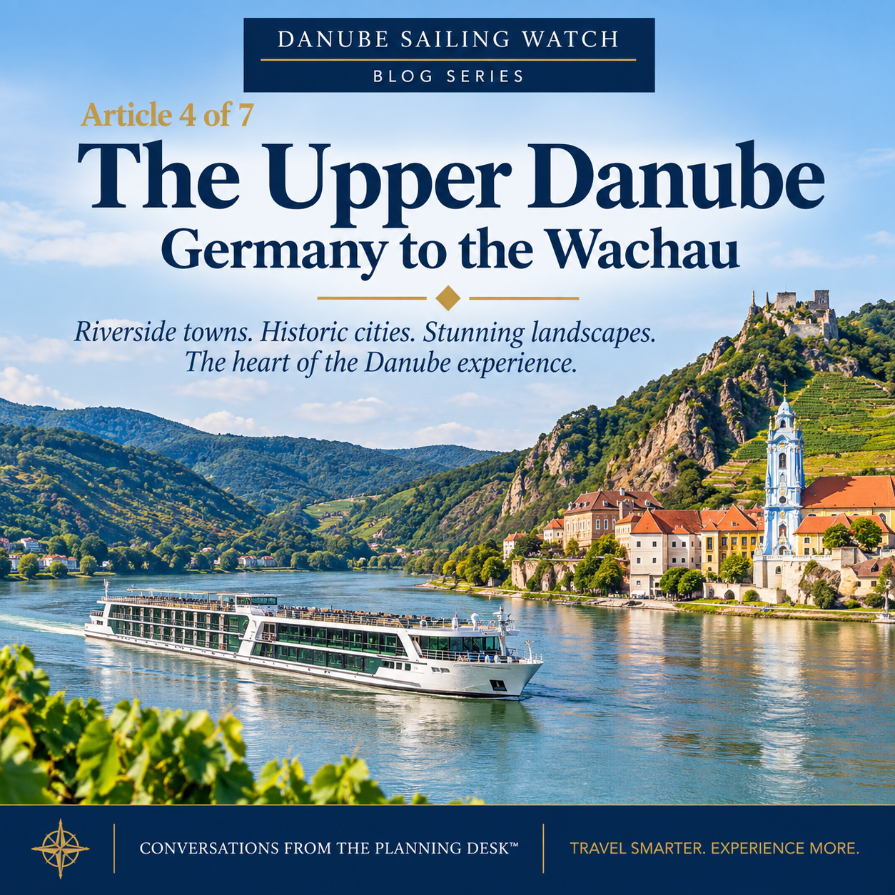
The Upper Danube from Germany to the Wachau combines regulated waterways, free-flowing reaches and navigation-sensitive areas—making location just as important as the water-level number.
New to the Danube Water Levels Series?
If you’re joining the conversation here, the first three articles build the foundation for what follows:
1. Understanding Danube Water Levels: The Gauges That Tell the Story
Explains what river gauges actually measure, why gauge height is not the same as navigable depth, and why one number cannot describe the entire Danube.
2. Is Low Water on the Danube Something New? A Look at the River’s History
Looks at historic drought and low-water events to put today’s conditions into perspective.
3. Why Isn’t the Entire Danube Controlled? Dams, the Green Movement and a Changing River
Explains why some stretches are controlled by dams and locks while others remain free-flowing—and why that matters for navigation.
With that foundation in place, we can now follow the river geographically—starting with the Upper Danube from Germany to the Wachau.
Regensburg to Straubing: an engineered river
Upstream sections of the German Danube contain barrages and locks that help manage navigation.
That changes downstream of Straubing.
Pfelling: one of the Upper Danube’s gauges to know
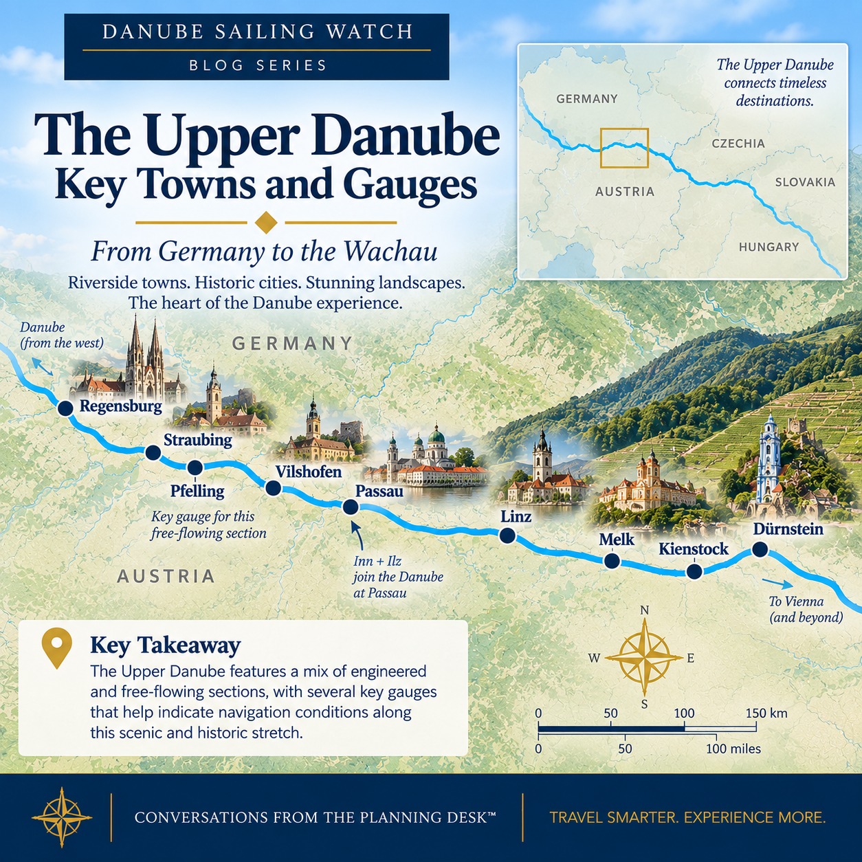
The Upper Danube is not one uniform waterway. Key gauges such as Pfelling and Kienstock help track conditions across a corridor that includes both free-flowing and engineered sections.
This geography is why a single Danube reading can be misleading. Pfelling may tell us something important about the free-flowing German reach, while conditions farther downstream can be influenced by tributaries, locks, dams and entirely different local river characteristics.
The Straubing–Vilshofen reach is one of the most important free-flowing sections of the German Danube.
This is why Pfelling appears so often in discussions of low-water navigation.
Like Kaub on the Rhine, Pfelling is useful because it helps us understand a known navigation-sensitive reach. But the comparison should not be pushed too far: the Danube still requires multiple gauges and local fairway information.
When Pfelling falls, operators pay close attention to the available channel depth and ship draft.
Vilshofen and Passau
Vilshofen is a familiar embarkation or disembarkation point for river cruises.
A short distance downstream lies Passau, where three rivers meet: the Danube, Inn and Ilz.
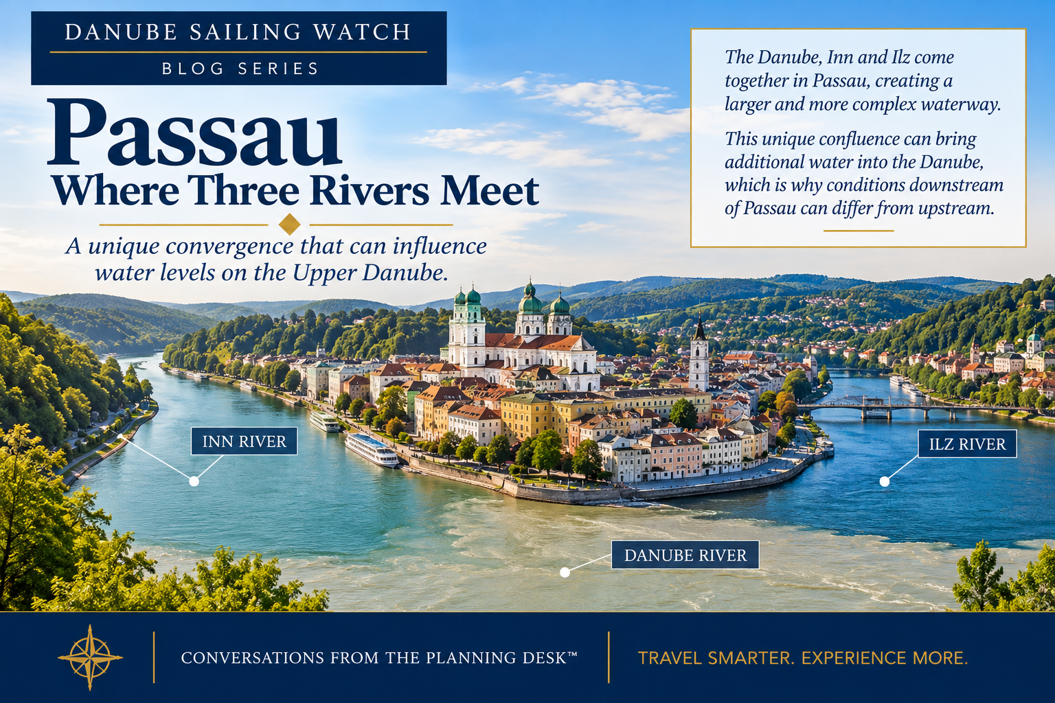
Passau demonstrates why an Upper Danube water-level report has to be read geographically. Conditions immediately upstream do not automatically describe conditions downstream. The Inn and Ilz introduce water from different watersheds, potentially changing the picture after the rivers meet.
The Inn is especially important because it drains Alpine territory and can contribute substantial flow. As a result, the Danube leaving Passau can have a different hydrological character from the river approaching it. That is why an upstream gauge cannot, by itself, describe downstream conditions.
Passau to Linz: locks change the picture
Moving into Austria, the Danube becomes increasingly regulated by hydropower dams and locks.
For travelers, that can make water-level behavior appear more stable than in free-flowing sections.
But regulated does not mean immune.
Extreme low flow still affects navigation, and very high water can create an entirely different problem: insufficient clearance beneath bridges or unsafe current conditions.
River cruising is affected by both ends of the water-level spectrum.
Linz to Melk
Linz is an important reference city and port, but travelers should resist treating a city gauge as a universal pass/fail number.
The better approach is to follow the river downstream toward the reaches where fairway depth becomes more sensitive.
That brings us to the Wachau.
Kienstock and the Wachau
The Wachau is where navigation science and one of the Danube's most celebrated landscapes meet. Its narrower channel and naturally shallow areas make local conditions especially important—not because the Wachau is always difficult to navigate, but because relatively small changes can matter in specific sections.
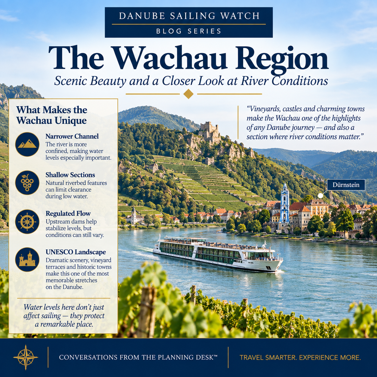
The Wachau combines spectacular scenery with navigation-sensitive stretches. Shallow areas can respond directly to changing river flow, making local fairway depth and conditions more useful than relying on a single Danube water-level reading.
That distinction matters. Kienstock helps show the water-level trend, but cruise navigation depends on the depth actually available in the channel. The Danube FIS Portal publishes fairway soundings for shallow Wachau locations including Schwallenbach, Hinterhaus, Hofarnsdorf and Weißenkirchen. Those local soundings can tell us more about navigability than the gauge number alone.
During August 2026, Danube FIS continued publishing soundings in these Wachau bottlenecks, demonstrating how closely the channel is monitored when water is low.
Why the Wachau can become a cruise issue
The Wachau is not simply a deep reservoir where the water level is held constant.
Its shallow locations respond to river flow, sediment and channel conditions.
If available depth becomes marginal for a particular vessel, a cruise line may adjust where it docks, change timing, use a different vessel plan or modify an excursion.
That does not automatically mean the entire cruise fails.
It means one reach has become operationally difficult.
That brings us back to the most important lesson of this series: no single number answers the question, “Can my river cruise sail?” We have to read the river as a system.
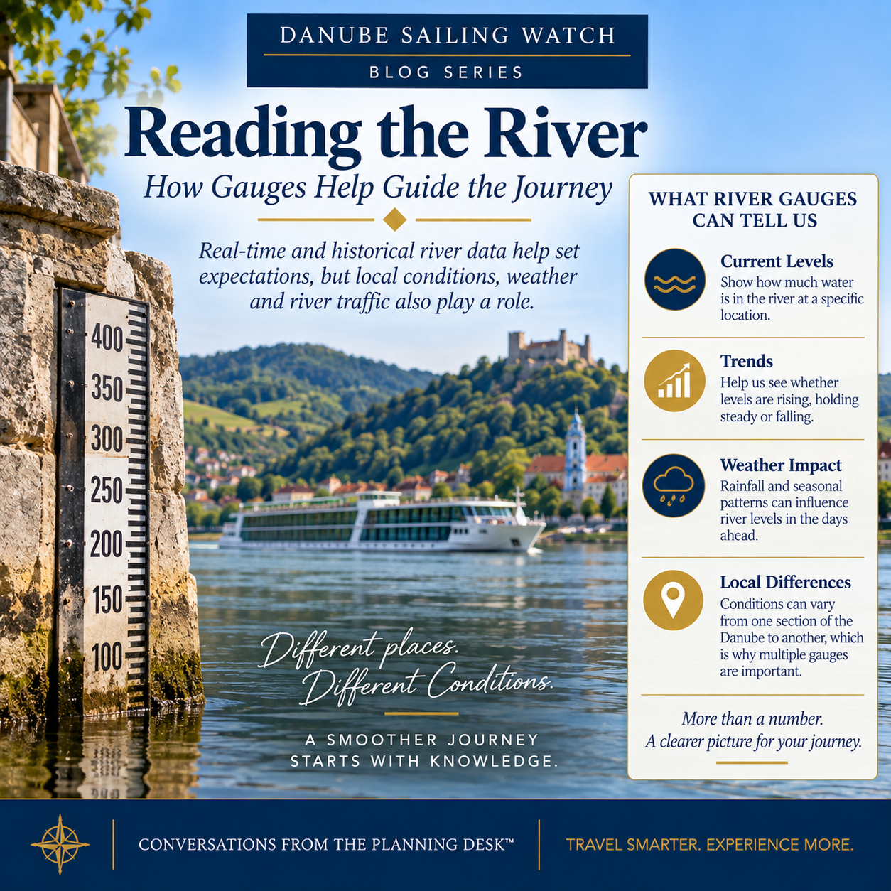
A river gauge is most useful as part of a bigger picture. Travelers should look at the trend, local conditions and relevant fairway depths—not treat a single gauge reading as a universal measure of whether the Danube is navigable.
A gauge reading becomes much more useful when we add context. Is the river rising or falling? What has the weather been doing upstream? Which gauge applies to the section we're concerned about? Are current fairway soundings available? And are locks, dams or tributaries influencing conditions nearby?
Together, those pieces tell a much better story than the gauge number alone.
The Upper Danube gauges I watch
For a cruise operating from Germany through the Wachau, my traveler-focused watch list includes:
Regensburg / Straubing area
Pfelling
Hofkirchen / Vilshofen
Passau / Achleiten
Linz
Melk
Kienstock
Dürnstein
Then I add the latest published fairway soundings for the known shallow reaches.
What itineraries use this corridor?
Variations of this geography appear across the major river-cruise brands.
Some cruises begin or end near Regensburg or Vilshofen. Others begin at Passau. Many continue through Linz, Melk and the Wachau before reaching Vienna, Bratislava and Budapest.
The company name changes.
The river does not.
That is why understanding the corridor is more useful than memorizing one cruise line’s itinerary.
What travelers should remember
If your cruise uses the Upper Danube, don’t ask only whether “the Danube is low.”
Ask:
How is the Straubing–Vilshofen free-flowing reach? What is happening at Pfelling? What are the current Wachau fairway soundings? And what is the trend—not just today’s number?
Those questions get us much closer to understanding the real navigation risk.
Next: Classic Danube: Wachau to Budapest, covering Vienna, Wildungsmauer, Bratislava, the Hungarian Danube Bend and Budapest.
In This Series
Danube Water Levels Series · Article 4 of 7
Previous Article: Why Isn’t the Entire Danube Controlled? Dams, the Green Movement and a Changing River | Series: Danube Water Levels | Next Article: Classic Danube Water Levels: Wachau, Vienna, Bratislava and Budapest
Danube Water Levels Explained: Gauges, Depth & River Cruises
Why Isn’t the Entire Danube Controlled? Dams, the Green Movement and a Changing River
Upper Danube Water Levels: Germany to the Wachau — Current article
Classic Danube Water Levels: Wachau, Vienna, Bratislava and Budapest
Middle & Lower Danube Water Levels: Budapest to Romania and the Black Sea
What Happens When a Danube River Cruise Ship Can't Get Through?
Planning a Danube River Cruise?
River conditions are only one part of choosing the right itinerary, ship and time of year. If you're considering a Danube cruise, I can help you compare the options and understand how the different routes may fit your travel plans.
Schedule a consultation and let's talk through your trip.
Sources & Further Reading
This article is part of Conversations from the Planning Desk™ and is intended to help travelers understand river conditions—not to predict the operation of a specific sailing. River levels, fairway depths and cruise operations can change quickly.
Danube Commission — Main gauges and navigation information: https://www.danubecommission.org/dc/en/danube-navigation/
Danube FIS Portal — Current navigation bottlenecks and fairway soundings: https://www.danubeportal.com/en/bottleNeck
ICPDR — Danube River Basin, climate adaptation and hydromorphology: https://www.icpdr.org/